Onion Creek Road
Colorado River Road
Length
16 Miles
Time
1.5-2 Hours
Difficulty
Easy
Rating
Season
All Year
Fees
None
Route Type
Out and Back
About This Trail
A splashy canyon drive crossing Onion Creek two dozen times beneath wild red spires and towers.
Local Tip
Check the flash flood forecast before you go, not the sky above you. The storm that floods Onion Creek can be falling ten miles away in the La Sals. On a hot summer day, the crossings are the point: windows down, take them slow, and let the kids count all 20-something splashes.
Trail Description
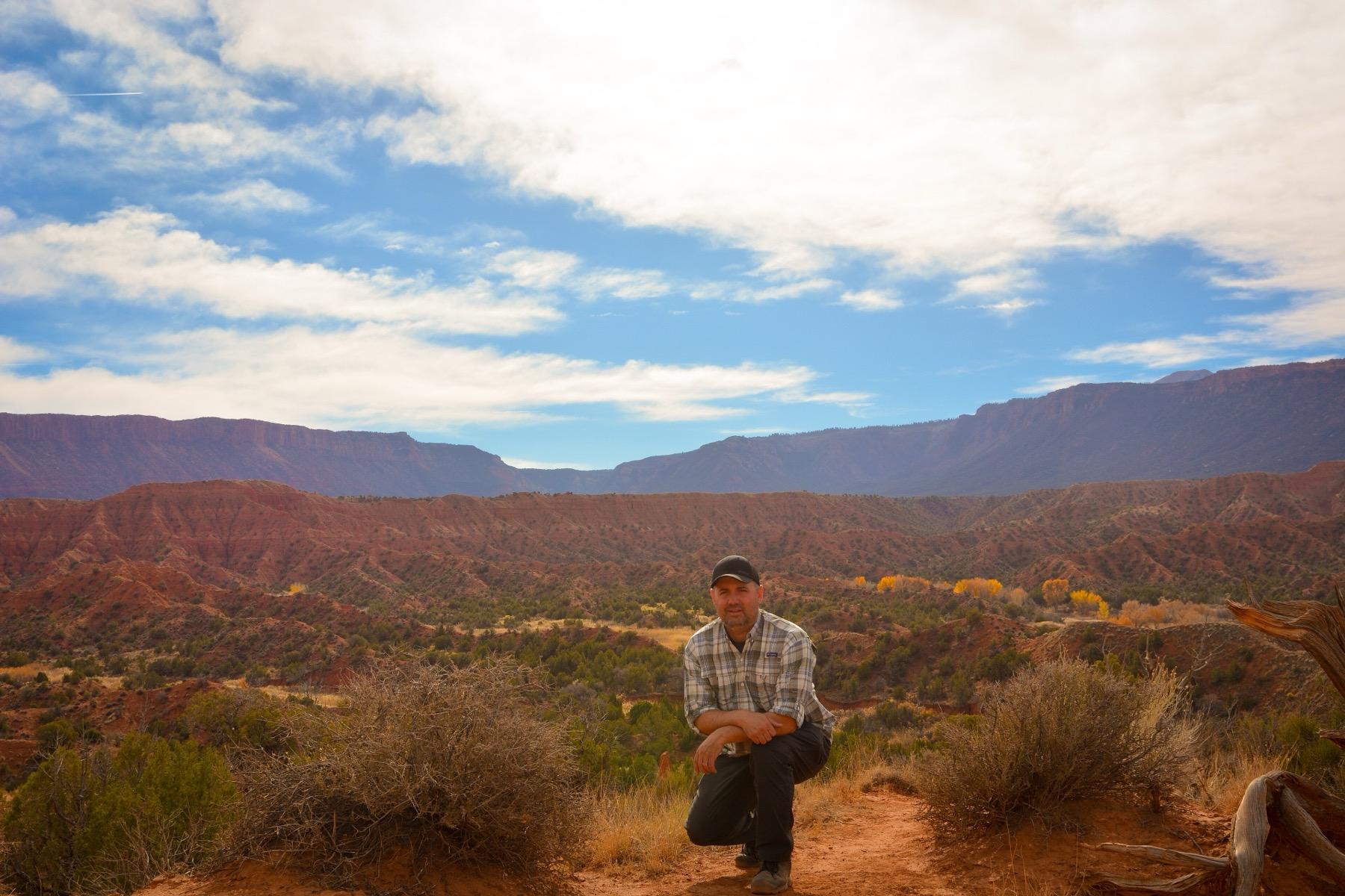
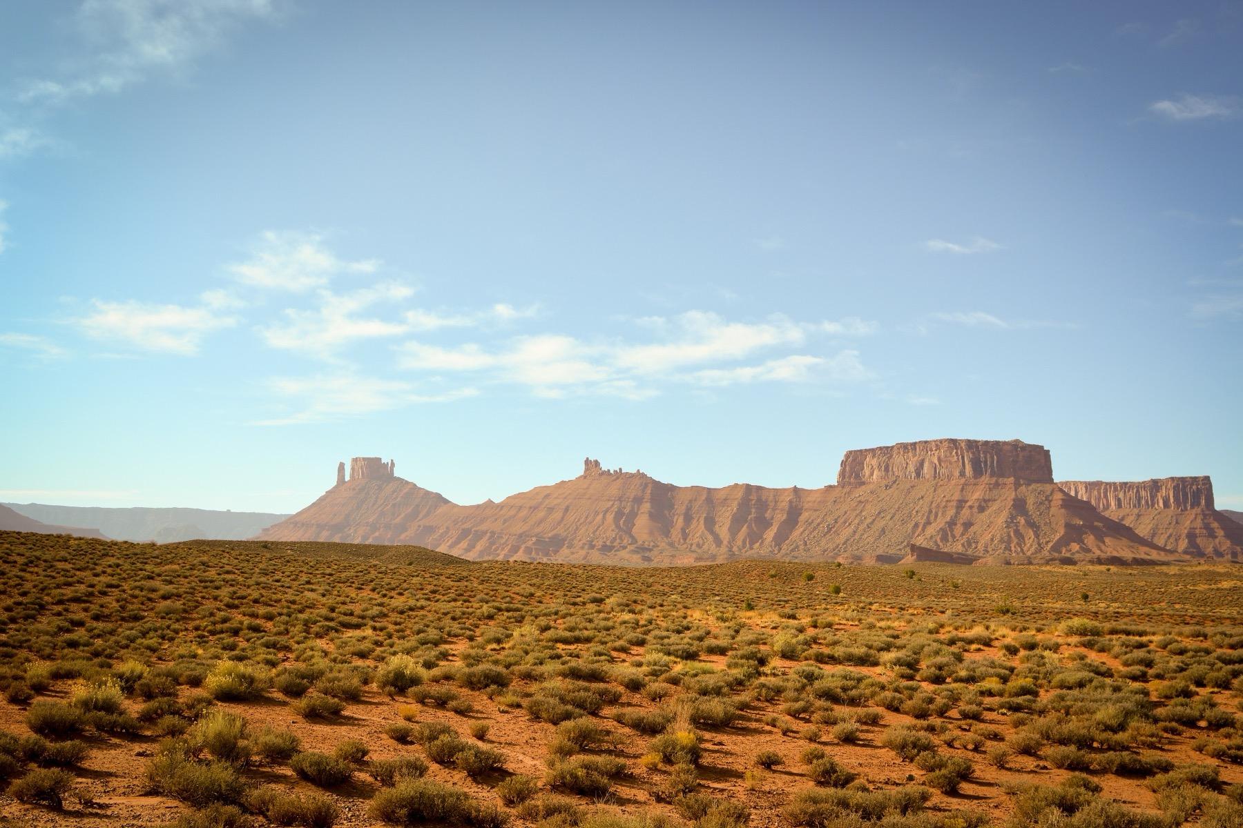
Onion Creek Road is the most fun you can have in a stock SUV near Moab. The graded dirt road winds up a narrow canyon off Highway 128, crossing and re-crossing Onion Creek more than 20 times as it threads between deep-red spires, fins, and the bizarre gray moonscape of the Fisher Towers' backside.
The creek crossings are shallow, usually just a few inches, but they come one after another, and every one of them splashes. Kids universally rate this drive five stars.
Above the narrows, the road climbs into Fisher Valley with views back over the towers. Most visitors turn around where the canyon opens up; the road continues toward Thompson Canyon for those wanting more.
Trailhead & Staging Area
From Moab, drive 20 miles northeast on scenic UT-128 along the Colorado River. The signed Onion Creek Road turnoff is on the right, just past the Fisher Towers area. No fees or permits required. Primitive campgrounds sit near the entrance.
Drive Route
About 16 miles round trip to upper Fisher Valley; allow 1.5-2 hours. Passable by stock high-clearance vehicles in dry weather. 4WD is generally not needed. CRITICAL: do not enter the canyon if storms threaten anywhere in the area. Onion Creek drains a huge basin and the narrows flash flood violently; the road is regularly rebuilt after washouts.
Interactive Map
Load the track into Gaia, onX, or your GPS unit for offline navigation. There is no cell service on most of this trail. Route is for reference only; conditions change, so check with the BLM or NPS before you go.
Track data © OpenStreetMap contributors
Trail Photos
Ready for More Adventures?
Explore more scenic drives and outdoor activities in the Moab area.