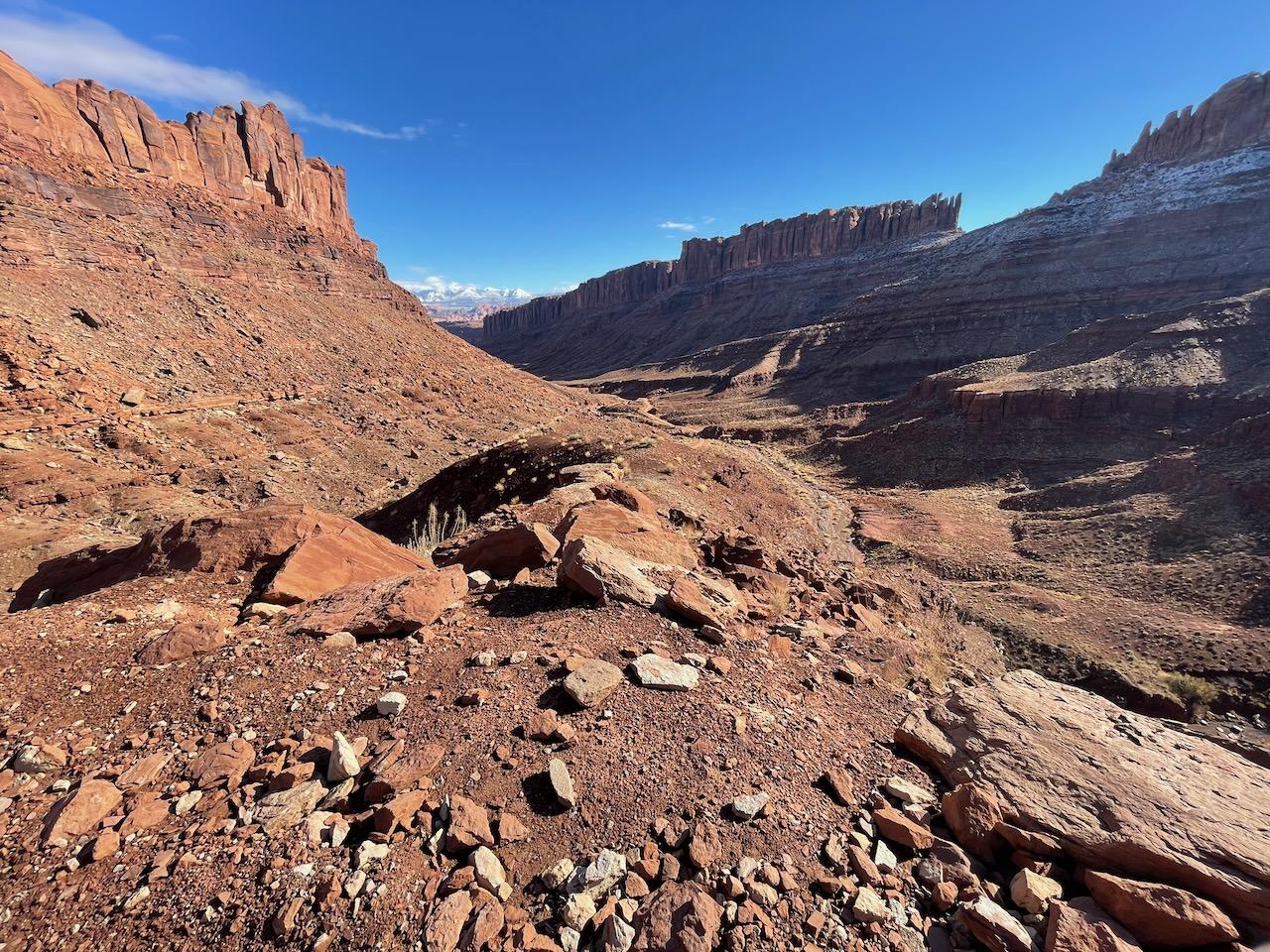
Long Canyon Road (Pucker Pass)
Potash Road
Length
8 Miles
Time
1-1.5 Hours
Difficulty
Moderate
Rating
Season
All Year (except snow)
Fees
None
Route Type
Point to Point
About This Trail
A dramatic canyon climb beneath a fallen boulder, connecting Potash Road to the Island in the Sky highlands.
Local Tip
Drive it bottom-up in the afternoon and pair it with Dead Horse Point: you top out 15 minutes from the park entrance right as the light gets good over the river gooseneck. The boulder at Pucker Pass looks like it can't possibly fit a full-size vehicle. It can, slowly, and it's been doing so for decades.
Trail Description
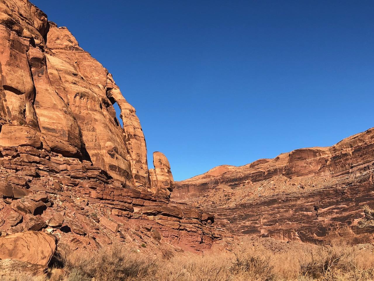
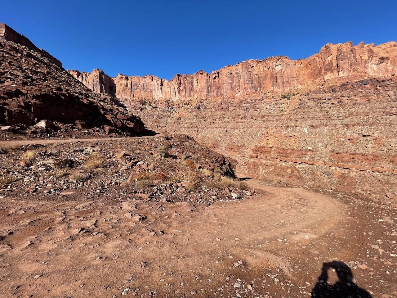
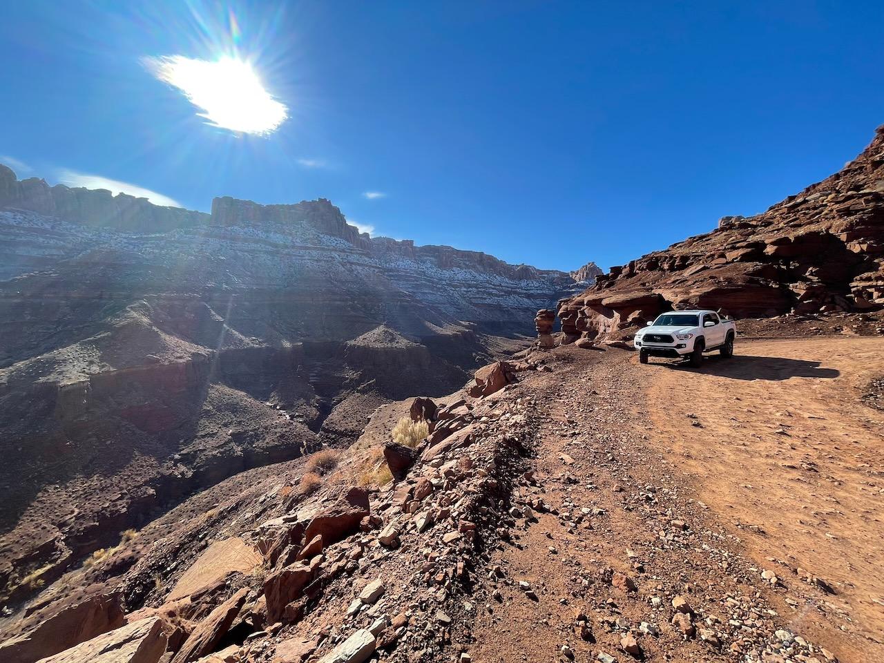
Long Canyon Road is the local shortcut: a backcountry route that climbs from the Colorado River corridor up a deep red rock canyon to the plateau near Dead Horse Point, gaining over 1,500 feet along the way.
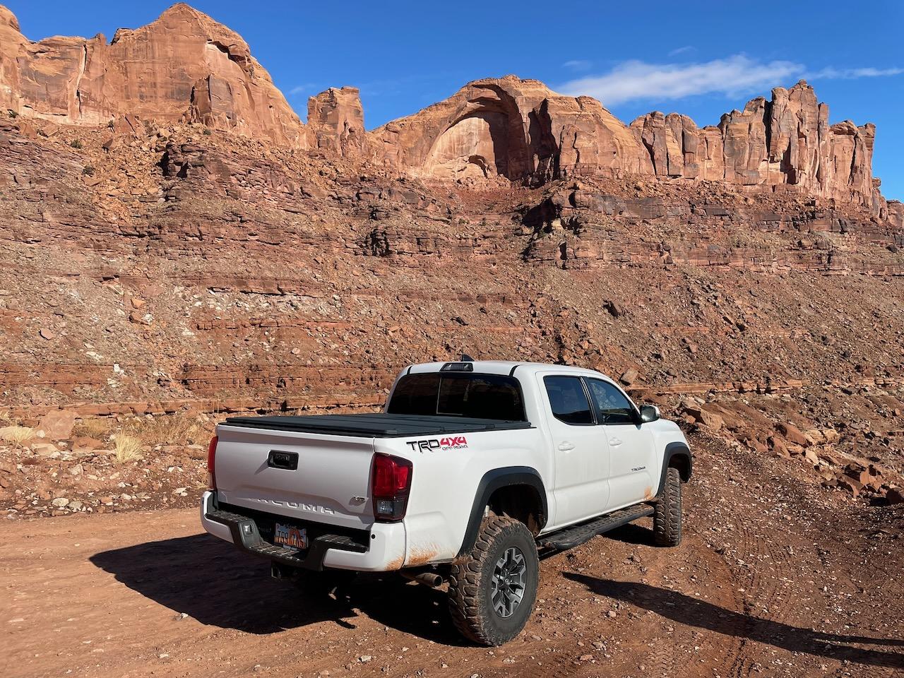
The signature moment is Pucker Pass, where the road squeezes directly beneath a giant fallen boulder wedged against the canyon wall. It's one of Moab's great photo ops. Above the pass, the switchbacks ease and the road tops out on the UT-313 plateau with the La Sals filling the horizon behind you.
It's a quieter alternative to the Shafer Trail with a similar bottom-to-top canyon-climb feel, and the two combine into one of the best backcountry loop drives in the area.
Trailhead & Staging Area
Bottom entrance: follow Potash Road (UT-279) along the Colorado River about 13 miles from US-191; the signed Long Canyon turnoff is on the right shortly before the potash plant. Top entrance: from UT-313, watch for the signed dirt road on the east side a few miles before the Dead Horse Point entrance. No fees for Long Canyon itself.
Drive Route
About 8 miles point-to-point from Potash Road to UT-313; allow 1-1.5 hours. High-clearance 4WD recommended for the rocky ledges below Pucker Pass, especially driving uphill. Avoid when wet or icy, when the upper switchbacks get slick. Combine with the Shafer Trail for a full canyon-country loop from Moab.
Interactive Map
Load the track into Gaia, onX, or your GPS unit for offline navigation. There is no cell service on most of this trail. Route is for reference only; conditions change, so check with the BLM or NPS before you go.
Track data © OpenStreetMap contributors
Trail Photos
Ready for More Adventures?
Explore more scenic drives and outdoor activities in the Moab area.