Gemini Bridges Road
Highway 313 Area
Length
13.5 Miles
Time
2-3 Hours
Difficulty
Easy
Rating
Season
All Year
Fees
None
Route Type
Point to Point
About This Trail
An easy backcountry road to a pair of massive side-by-side rock spans. It's Moab's most accessible 4x4 destination.
Local Tip
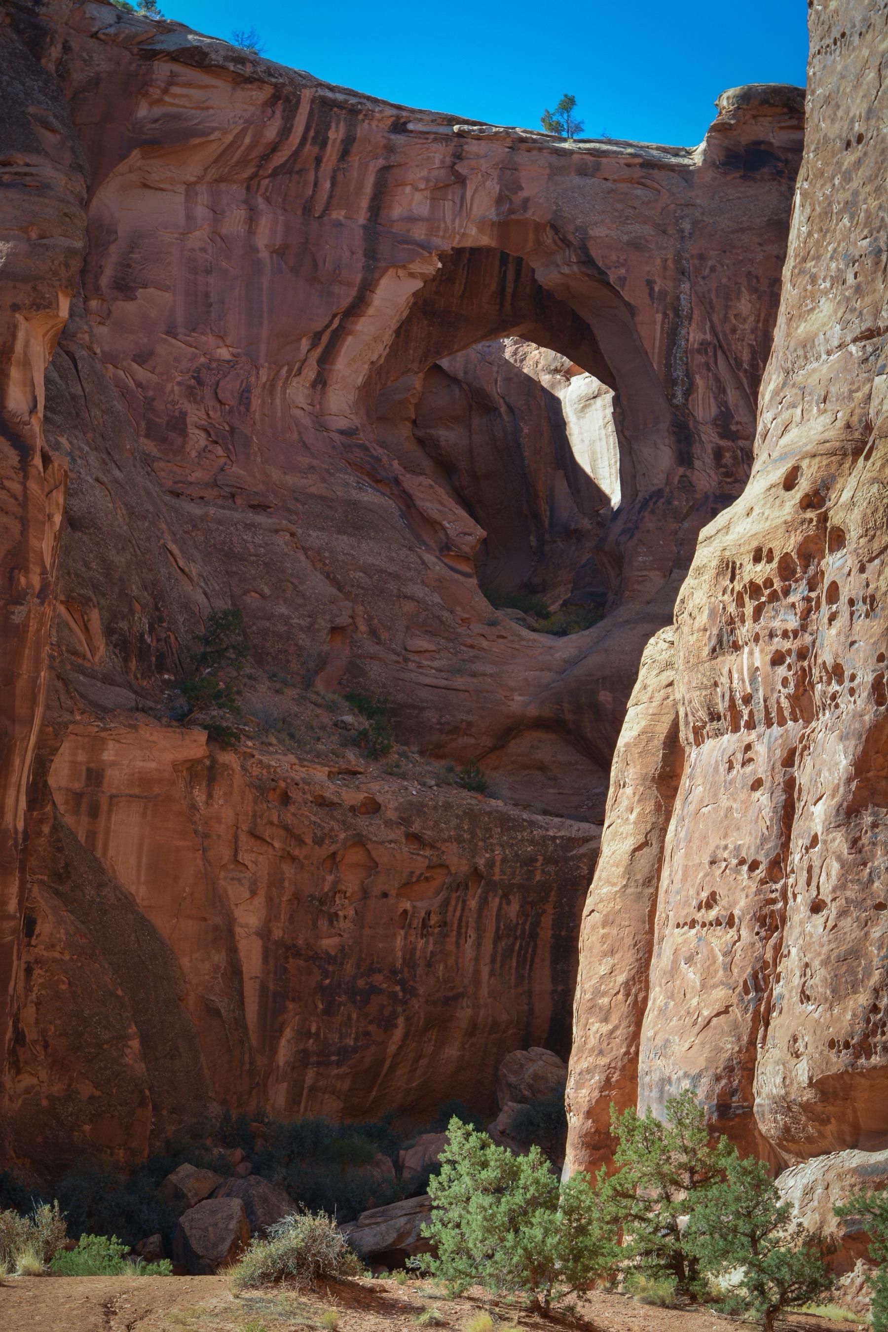
The short walk from the parking area puts you on top of the bridges, which is impressive but doesn't show their scale. If you have time, the Bull Canyon spur road below gives you the view from underneath. That's the angle that shows how big the twin spans really are.
Trail Description
Gemini Bridges Road is the gentlest introduction to Moab backcountry driving: a graded dirt road winding through classic red rock canyon country to the Gemini Bridges, twin natural rock spans that sit side by side over Bull Canyon.
The road is passable by most stock high-clearance vehicles in dry weather. You don't need a built rig, just decent tires and a little patience with the rocky sections. Along the way you'll pass slickrock domes, juniper flats, and views up to the Island in the Sky mesa.
Because it's easy and scenic, the road is shared by Jeeps, UTVs, mountain bikers, and dirt bikes, so watch for two-wheeled traffic, especially on weekends.
Trailhead & Staging Area
The main entrance is off UT-313 (the Island in the Sky/Dead Horse Point road) about 12.5 miles from US-191, a signed dirt road on the left. You can also enter from US-191 north of Moab across from the Gemini Bridges parking area, a steeper shelf-road climb.
Drive Route
About 13.5 miles point-to-point between UT-313 and US-191; the bridges are roughly 7 miles in from the UT-313 side. Allow 2-3 hours with the walk to the bridges. From the parking area it's a short quarter-mile walk to the spans. Do not drive or walk across the bridges. A fatality here led to barriers.
Interactive Map
Load the track into Gaia, onX, or your GPS unit for offline navigation. There is no cell service on most of this trail. Route is for reference only; conditions change, so check with the BLM or NPS before you go.
Track data © OpenStreetMap contributors
Trail Photos
Ready for More Adventures?
Explore more scenic drives and outdoor activities in the Moab area.