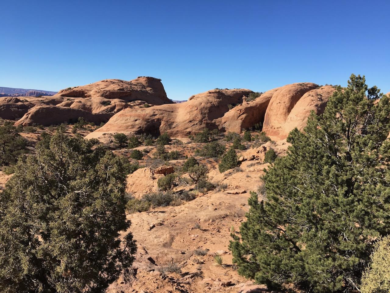
Fins & Things
Sand Flats Rec. Area
Length
9.5 Miles
Time
2-3 Hours
Difficulty
Difficult
Rating
Season
All Year
Fees
$5/vehicle (Sand Flats day pass)
Route Type
Loop
About This Trail
A roller-coaster ride up, over, and around sandstone fins, with steep slickrock climbs and white-knuckle descents minutes from downtown.
Local Tip
Air your tires down to around 20 psi before the first fin. The difference in traction and ride comfort on slickrock is night and day, and there's a free air station back in town at several off-road shops. Run the loop counter-clockwise as marked; the descents are engineered to be taken nose-first.
Trail Description
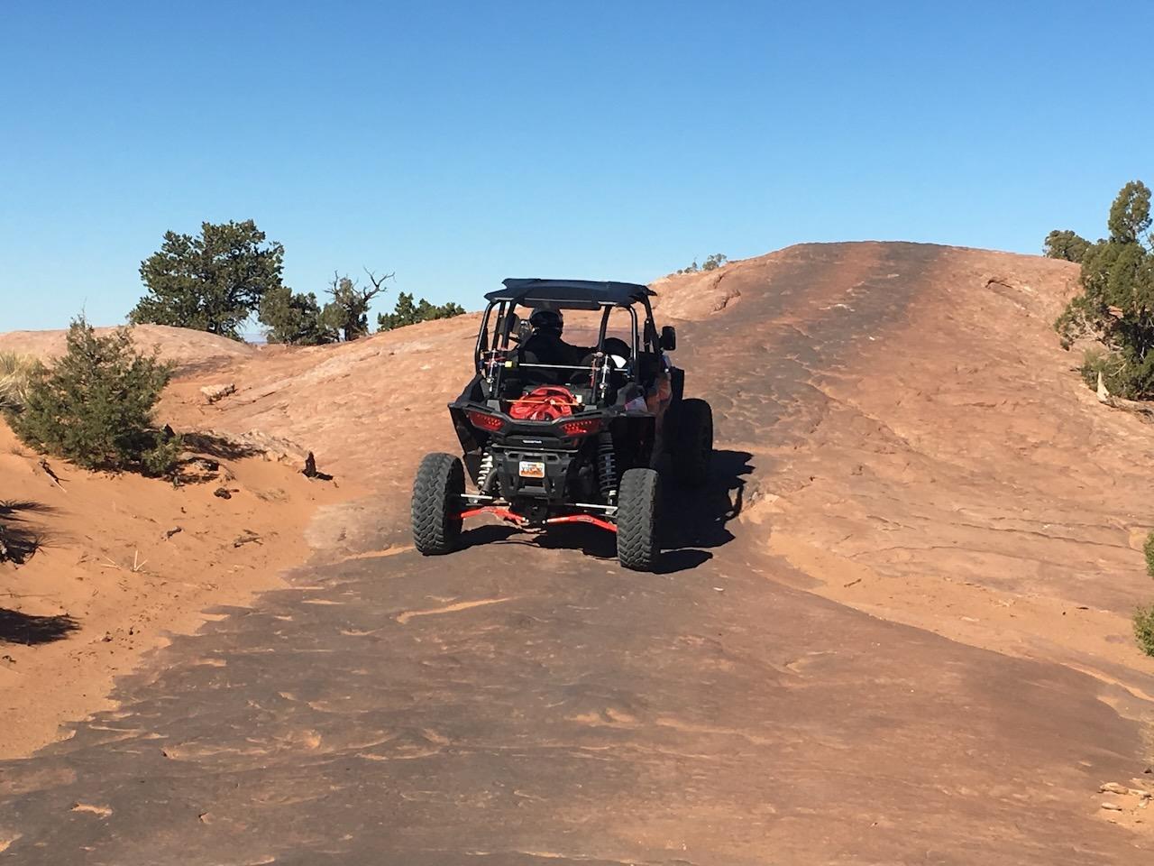
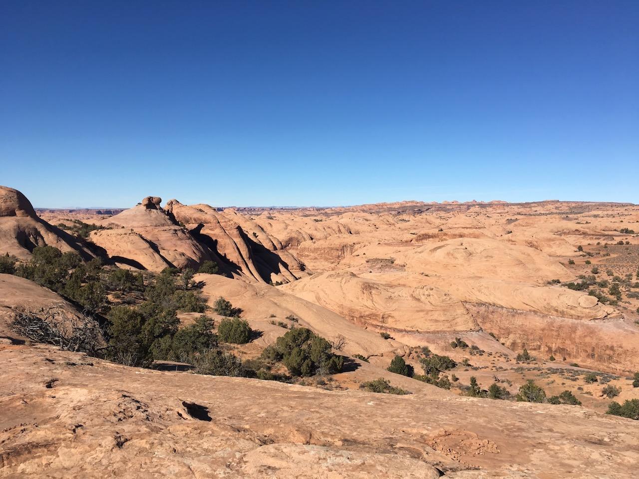
Fins & Things rolls through a maze of petrified sand-dune fins in the Sand Flats Recreation Area east of Hell's Revenge, with constant steep climbs and drops that feel like a slow-motion roller coaster.
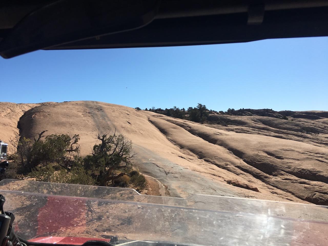
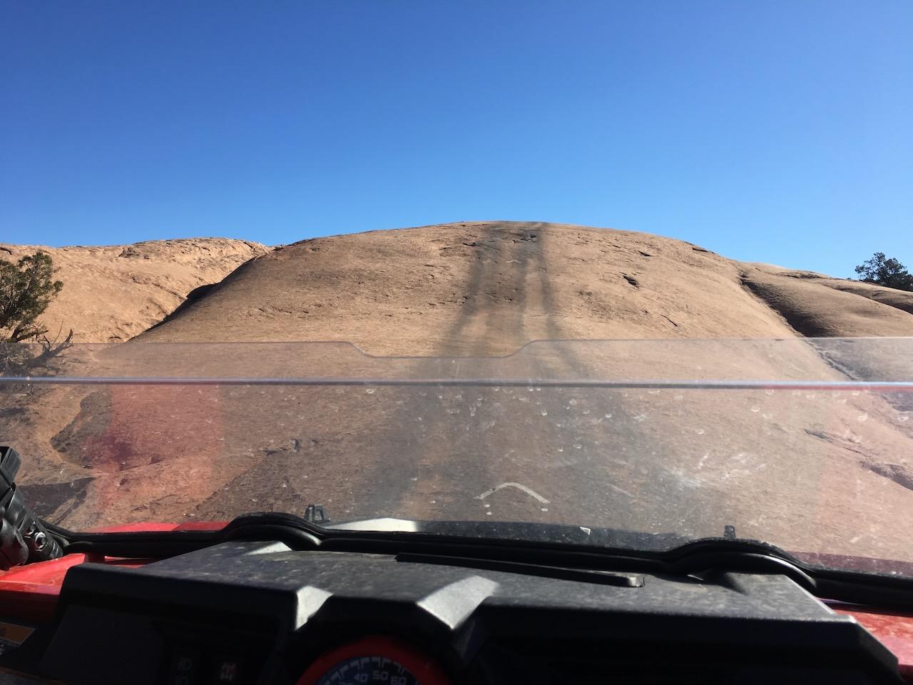
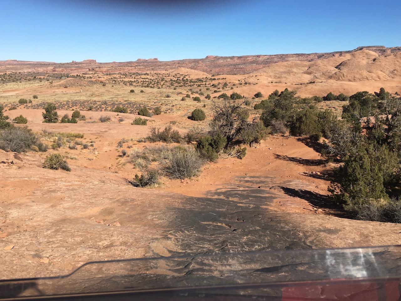
Don't let the playful name fool you: the nose-down descents off the fins are steep enough to put your windshield full of sky and then full of rock, and several ledgy sections demand careful tire placement. Good throttle and brake control are essential, and the consequences of a bad line on slickrock are real. Views stretch across to the La Sal Mountains and the red rock of Arches.
The trail is popular with Jeeps, UTVs, and dirt bikes alike, and it links two loops (north and south) that can be run together or separately.
Trailhead & Staging Area
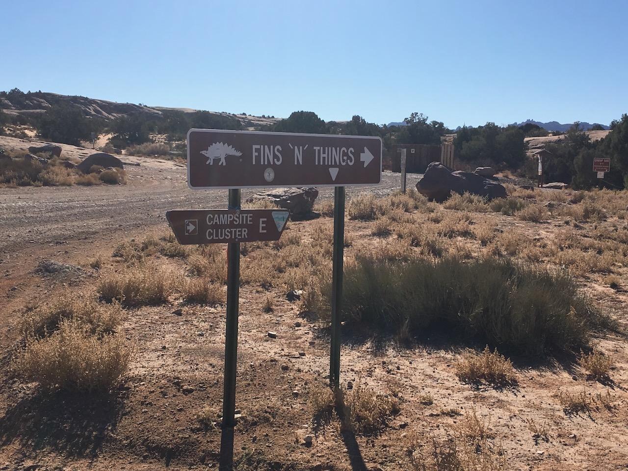
Stage at the Sand Flats Recreation Area. Continue past the Hell's Revenge staging area on Sand Flats Road about 2 miles to the marked Fins & Things trailhead. Day-use fee payable at the entrance station.
Drive Route
Roughly 9-10 miles total if you run both loops, marked with painted symbols on the rock. Allow 2-3 hours. High-clearance 4WD with low range required; lockers and rock sliders are welcome insurance on the steeper fins. Follow the painted route markers. Cutting across virgin slickrock and cryptobiotic soil is prohibited.
Interactive Map
Load the track into Gaia, onX, or your GPS unit for offline navigation. There is no cell service on most of this trail. Route is for reference only; conditions change, so check with the BLM or NPS before you go.
Track data © OpenStreetMap contributors
Trail Photos
Ready for More Adventures?
Explore more scenic drives and outdoor activities in the Moab area.