Raptor Route
Sand Flats Rec. Area
Difficulty
ModerateLength
12 Miles
Time
2-5 Hours
Trail Type
Point to Point or Loop
Pets
Yes
Required Gear
Standard gear
Rating
Season
All Year
Fees
Sand Flats Entrance Fee
About This Trail
This linked network of four trails delivers 12 miles of flowy intermediate singletrack through Sand Flats with enough technical sections to keep things interesting.
Trail Description
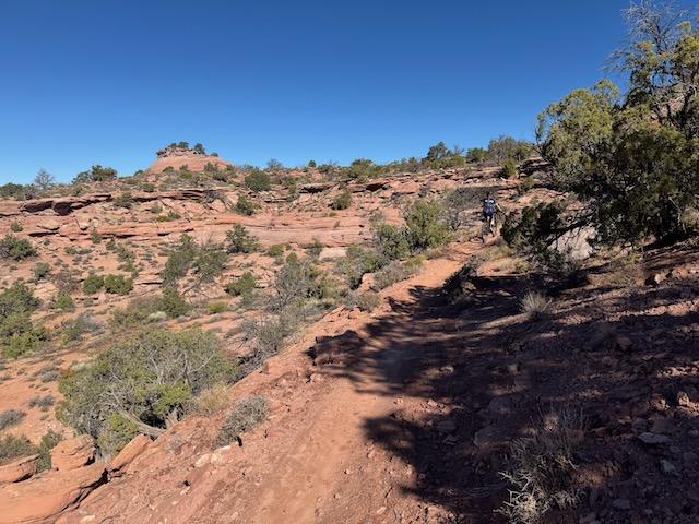
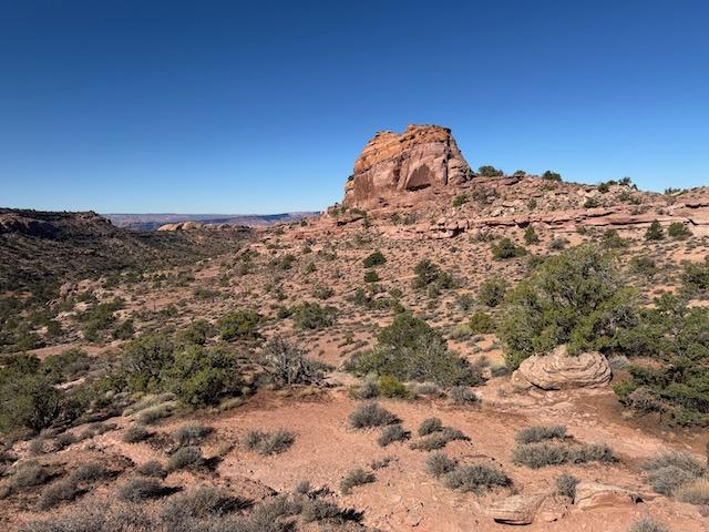
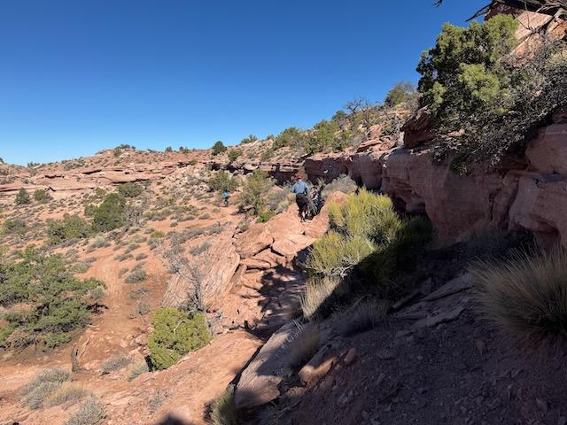
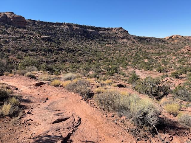
The Raptor Route is Moab's newest purpose-built trail system, offering 12 miles of flowing singletrack through the Sand Flats Recreation Area. Completed between 2020 and 2023, these four interconnected trails (Eagle Eye, Hawks Glide, Falcon Flow, and Kestrel Run) provide intermediate riders with an accessible introduction to classic Moab terrain without the expert-level demands of nearby Slickrock or Porcupine Rim.
Trailhead Info
From downtown Moab, head east on 300 South, turn right on 400 East, then take the second left onto Millcreek Drive. Continue as it becomes Sand Flats Road and pay your entry fee at the station. The lower Falcon Flow trailhead and parking are 4 miles from the gate. For the full Raptor Route experience, continue to mile 6.8 where you can access Eagle Eye or park at the Porcupine Rim lot.
Trail Info
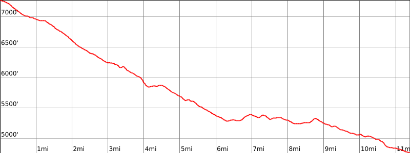
Each segment is named after a bird of prey and can be ridden individually as shorter loops or linked together for one continuous downhill run from 7,300 feet to 4,950 feet in elevation.
Eagle Eye (2.4 miles) sits at the top of the system, connecting to the Lower Porcupine Singletrack for riders descending from the Whole Enchilada. The trail mixes red dirt singletrack with sandstone features, running parallel to Sand Flats Road.
Hawks Glide (2.0 miles) continues the descent along a ridgeline between Sand Flats Road and Porcupine Rim. While mostly intermediate, the final descent into the Porcupine Rim parking area features a technical section that will challenge even experienced riders.
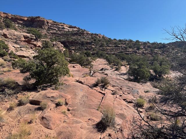
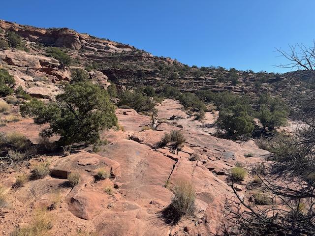
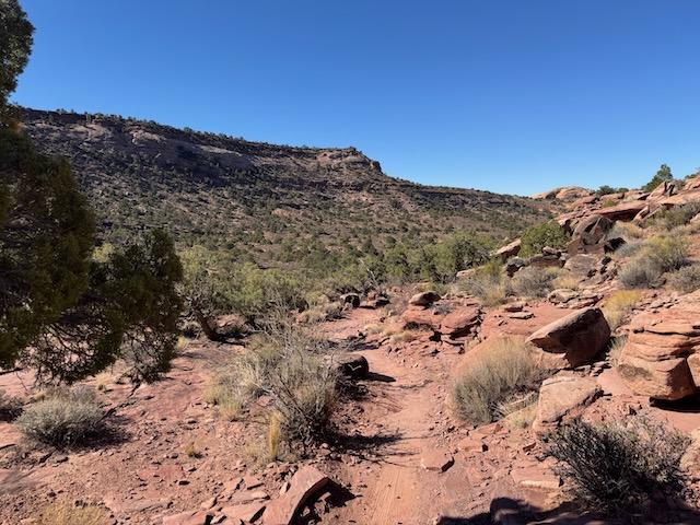
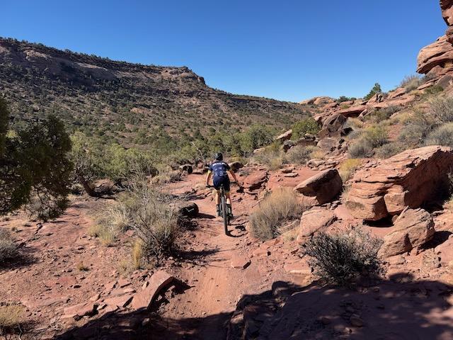
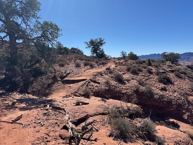
Falcon Flow (5.4 miles) is the longest segment and sits at an elevation perfect for early spring and late fall riding. Expect around 450 feet of climbing even on the descent, with the trail weaving through juniper and sage past sandstone shelves and bowls.
Kestrel Run (2.0 miles) completes the route, dropping from lower Falcon Flow to the Fins & Things area near Hawk Campground. The upper mile suits newer intermediates, but riders continuing across Sand Flats Road face an expert-level plunge into a narrow sandstone canyon.
Ride Direction & Season
While technically two-way trails, everyone rides the Raptor Route in the downhill direction, and you should too. The trails flow best from Eagle Eye down through Kestrel Run. Riding season runs late March through early November, with the lower-elevation segments rideable even earlier and later in the season.
Loop Options
For a self-powered loop, use Sand Flats Road as your climb back up. From the lower Falcon Flow parking to the top of Eagle Eye, you'll pedal 6.2 miles on gravel gaining around 2,300 feet. Alternatively, shuttle services can drop you at the top for a gravity-fed descent.
Elevation Profile and Map
Elevation Charts
Interactive Map
Trail Photos
.jpeg&w=3840&q=75)
Ready for More Adventures?
Explore more mountain biking trails and outdoor activities in the Moab area.