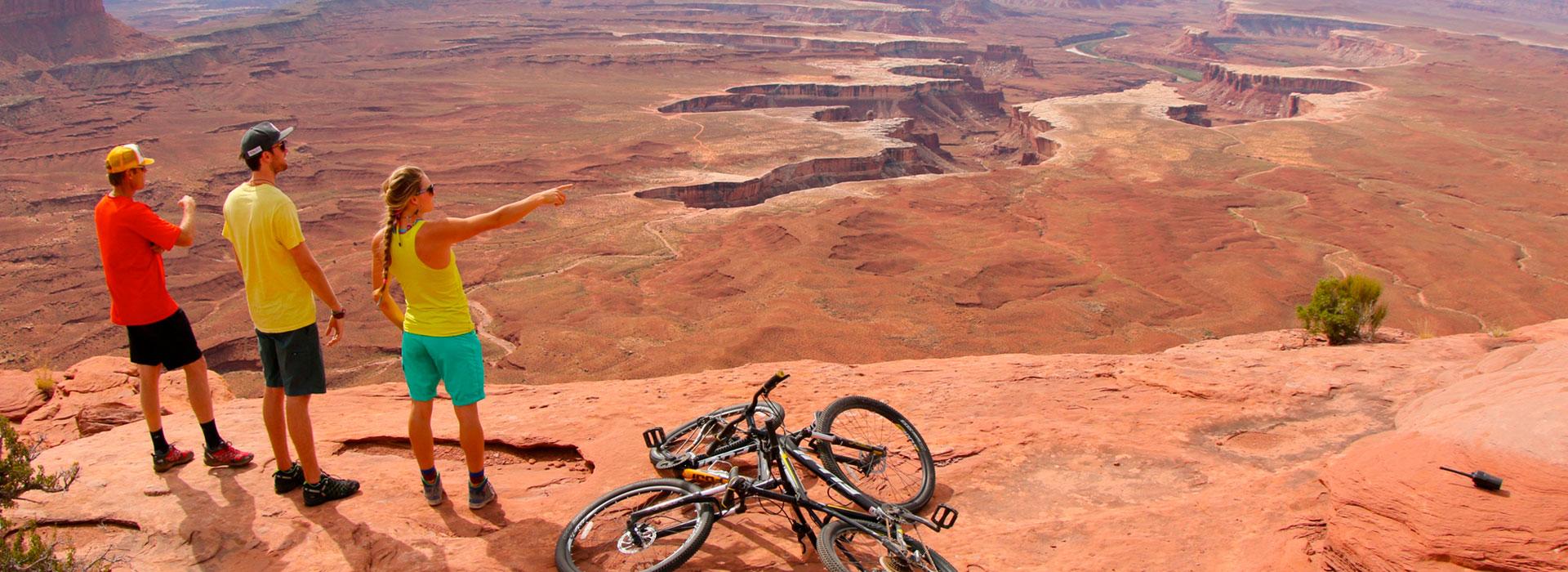
Mud Springs: Yellowcake Walk and RADium
Mud Springs Area
Difficulty
EasyLength
9 Miles
Time
2-3 Hours
Trail Type
Loop
Pets
Yes
Required Gear
Standard gear
Rating
Season
April 15 to November 30
Fees
None
About This Trail
Two flowy machine built loops south of Moab. Climb Up235 to the rim, then descend the bermed Yellowcake Walk, climb again, and finish on the shorter RADium. About 9 miles total.
Local Tip
Ride Yellowcake Walk on your first lap while you are fresh, then decide on RADium at the bottom. The second climb is shorter than it feels. Check the weather before you drive down. Wet clay here sticks to tires in seconds and ruts the trail, and one muddy lap can undo weeks of trail work.
Trail Description
Mud Springs is the newest trail system in the Moab area and the first one built entirely by machine for flow. It opened in April 2024 on state Wildlife Management Area land about 12 miles south of town off US 191, and it feels nothing like the slickrock and ledges Moab is famous for. The tread is a wide, smooth bench cut in dirt and clay with grades that rarely pass 6 percent, and the descents are built around berms and rollers rather than rock.
The system works as a hub. Up235 is the single climbing trail that takes you from the parking area to the high point on the rim of a bowl the builders call the Mud Springs Cauldron. From the top you choose a descent. Yellowcake Walk is the long option and circles the whole cauldron. RADium is the short option and drops through the middle. Both are one way. The classic day is exactly what this ride describes: climb Up235, descend Yellowcake Walk, climb Up235 again, and descend RADium. That adds up to about 9 miles and roughly 900 feet of climbing, all of it gentle.
This is an ideal first ride in Moab for beginners, kids, and anyone on a hardtail, and it is still fun on a big bike because the berms let you carry speed. Class 1 e-bikes are allowed. The trails close each winter from December 1 to April 15 for wildlife, and the clay soil does not hold up when wet, so never ride here during or right after rain or snow.
Trailhead Info
From Center Street in downtown Moab, drive south on US 191 for about 12 miles. Just past a large ATV staging area on the left, watch for the gravel Yellow Circle Road, also signed as County Road 129, on the left. The turn sits in a passing lane, so signal early and be careful of traffic coming up behind you. Follow the gravel road 0.4 miles and keep right at the junction to reach the parking area and trailhead. There is no water and no fee.
Trail Info
All three trails start from the parking area and are well signed. Up235 is the only trail that goes up. Both descents are one way.
Lap 1, about 5 miles: Start on Up235 and settle into the climb. It gains about 400 feet over 2.2 miles at a steady grade with good sightlines, and the views open up across Spanish Valley toward the La Sal Mountains as you rise. At the top follow signs for Yellowcake Walk. The trail immediately dives into a twisty, bermed descent that drops around 200 feet, then rolls through a series of short climbs and descents as it wraps around the north side of the cauldron and returns to the trailhead. It is 2.8 miles long.
Lap 2, about 4 miles: Climb Up235 again. The second time up goes faster than you expect because the grade is so consistent. At the top take RADium instead. This 1.6 mile descent starts with a fast, flowy downhill through the center of the cauldron, traverses out of the bowl, and drops down the west slope back to the parking area. If you want a bonus, the short Geiger Grind connector links Yellowcake Walk into RADium so you can mix the two.
Total for both laps is about 9 miles and 900 feet of climbing. Plan on 2 to 3 hours at a relaxed pace, or well under 2 if you keep moving.
Ready for More Adventures?
Explore more mountain biking trails and outdoor activities in the Moab area.