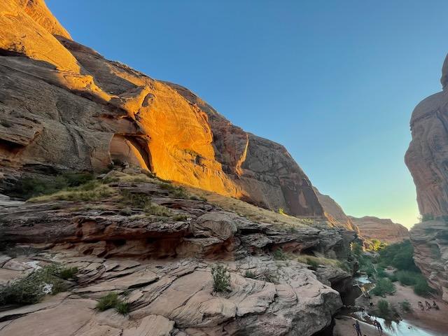
Mill Creek Falls
Spanish Valley
Difficulty
EasyLength
1.6 Miles
Time
1.5-2 Hours
Trail Type
Out and Back
Pets
Yes
Required Gear
Water shoes, towel, dry bag
Rating
Season
All Year
Fees
None
About This Trail
A short, family-friendly walk up a shady desert canyon to a 10-foot waterfall and one of Moab's most beloved swimming holes. It's the closest reliable cool-off to downtown.
Trail Description
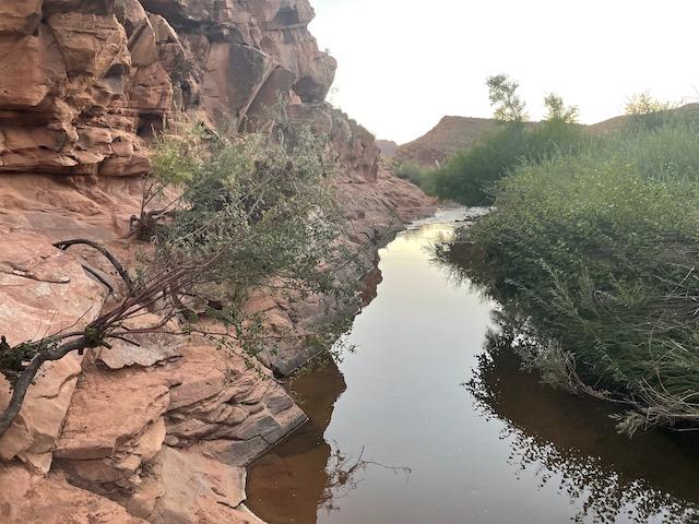
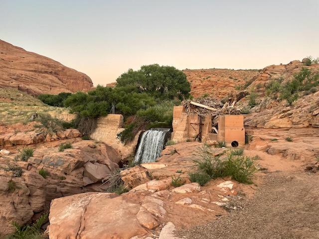
Tucked into a hidden canyon just minutes from downtown Moab, Mill Creek, known to locals as "Left Hand" or simply "the waterfall," is the area's classic swimming-hole hike. The trail follows a spring-fed perennial stream upstream beneath cottonwoods and red sandstone walls, crossing the creek several times on stepping-stones before arriving at a roughly 10-foot waterfall that plunges into a deep, cold pool. On hot summer afternoons it's the coolest place (literally and figuratively) within walking distance of Main Street.
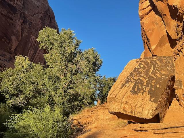
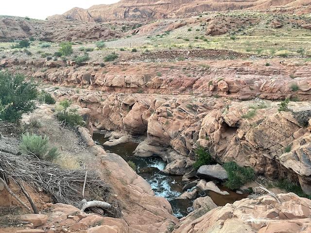
Beyond the swimming hole, the canyon continues with more wading, scrambling, and quiet pools where you can escape the crowds. Keep an eye on the canyon walls and boulders for ancient petroglyphs and pictographs. Mill Creek has been an important water source for thousands of years and rock art panels hide in alcoves and on stream-side boulders. A few side scrambles lead up to rock-art panels and a rock shelter a short distance past the main falls.
Because Mill Creek sits on BLM land just outside the national parks, dogs are welcome, there are no entrance fees, and the trailhead is open year-round. It's busy in summer, so go early or late, tread lightly, pack out everything you pack in, and please never touch or chalk any rock art you find.
Trailhead Info
The trailhead is at the east end of Powerhouse Lane, about 5 minutes (1.5 miles) southeast of downtown Moab. From Main Street (US-191), head east on 300 South, which becomes Mill Creek Drive. Continue roughly half a mile and turn right (south) on Powerhouse Lane, then follow it a third of a mile to the large dirt parking area at road's end. There's a trailhead kiosk and a vault toilet at the lot. Parking fills quickly on summer weekends, so arrive early and do NOT park on the surrounding private property (vehicles will be towed).
Trail Info
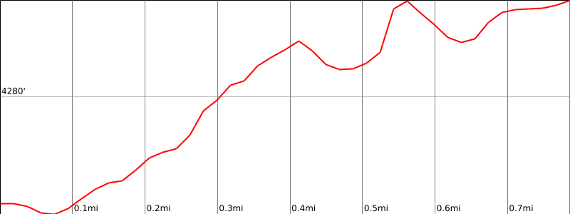
From the parking lot, walk past the gate and follow the old roadbed east along the south side of the creek. In about a quarter mile the trail drops to creek level and the canyon closes in. You'll make three shallow creek crossings on stepping-stones, so expect wet feet in higher spring flows. A short slickrock section slopes toward the water; take it slowly in wet conditions. Roughly 0.75 to 0.8 miles in, the canyon bends and a side trail drops left to the base of the waterfall and its deep plunge pool. This is the main destination. Strong hikers can continue upstream beyond the falls to find more pools, rock-art panels, and a rock shelter tucked in an alcove. Return the way you came.
Safety notes: Do not hike during or after heavy rain. Flash floods occur even from distant storms. Poison ivy grows abundantly along the creek banks in summer; stay on trail. Cliff jumping is discouraged as the pool is shallower than it looks. Never touch or deface any rock art you encounter.
Elevation Profile and Map
Elevation Charts
Interactive Map
Trail Photos
Ready for More Adventures?
Explore more hiking trails and outdoor activities in the Moab area.