Hidden Valley
Moab Rim
Difficulty
ModerateLength
4 Miles
Time
2-3 Hours
Trail Type
Out and Back
Pets
Yes
Required Gear
Standard Day Hike Gear - Hot in the Summer
Rating
Season
All Year
Fees
None
About This Trail
Push through a rugged half-mile ascent to discover a peaceful hidden valley with Native American rock art and optional extensions to the Moab Rim overlook.
Trail Description
What sets Hidden Valley apart from other Moab hikes is its sense of history. This corridor has served as a passage through the cliffs for at least two thousand years. Native American travelers left their mark here in the form of petroglyph panels etched into the sandstone, a tangible link to the people who walked this same path long before it appeared on any modern map.
The trail is popular with locals for good reason. It's close to town, offers a legitimate workout, and delivers views that rival longer and more remote routes in the area. Expect to share the path with runners, hikers, and the occasional mountain biker. Despite the steady traffic, the valley retains a peaceful quality once you're past the initial climb. It's a place to catch your breath and take in the quiet beauty of the high desert.
Trailhead Info
From downtown Moab, head south on Main Street (US 191) for approximately 3 miles. Turn right (west) onto Angel Rock Road and look for the Hidden Valley Trailhead sign. Follow Angel Rock Road for two blocks, then turn right onto Rimrock Road. Continue to the end of the road where you'll find the trailhead parking area.
The parking lot is dirt and can be a bit rough, but passenger vehicles should have no trouble accessing it. A kiosk at the south end of the parking area marks the start of the Hidden Valley Trail. Note that several other trails depart from this same trailhead, including the Pipe Dream mountain bike trail to the southwest.
Trail Info
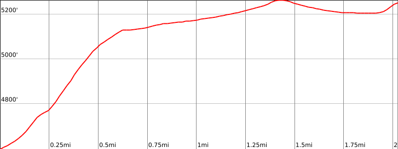
Hidden Valley is a tale of two trails. The journey begins with a relentless 0.6-mile climb that gains nearly 600 feet through a jumble of rocks and uneven terrain. This opening section demands your attention (and your quads), but it's mercifully short. Power through it and you'll emerge onto a completely different trail: smooth, gently graded singletrack winding through a quiet valley suspended high above the Moab and Spanish Valley floors.
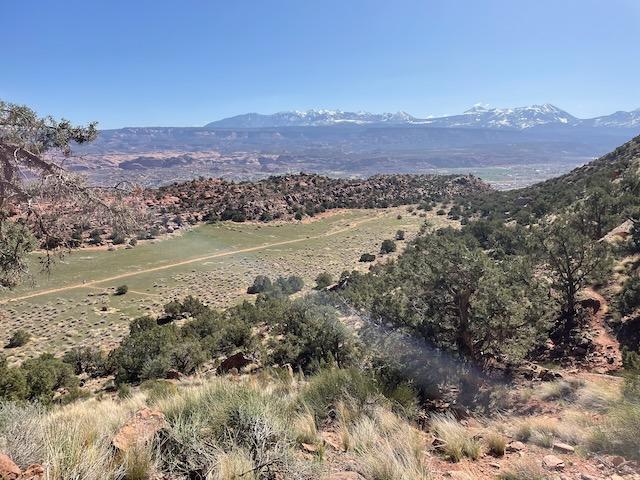
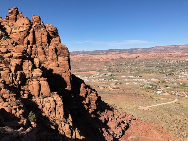
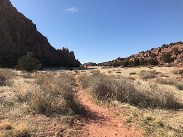
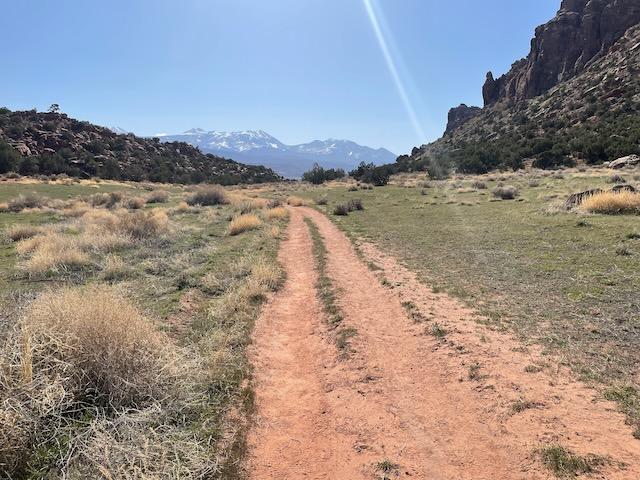
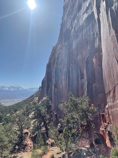
Once you crest the initial climb, the character of the hike transforms entirely. The valley stretches before you as a grassy, gently sloping corridor flanked by towering Wingate sandstone cliffs. The trail meanders northwest for about 1.2 miles across this elevated shelf, offering a sense of solitude that feels worlds away from the bustle of town just a few miles to the north. The La Sal Mountains dominate the eastern skyline, their snow-dusted peaks providing a striking contrast to the red rock surroundings.
At the far end of the valley, the trail climbs briefly to a saddle that serves as both a natural turnaround point and a gateway to further exploration. From this high point, you'll take in expansive views of the Behind the Rocks Wilderness Study Area, a chaotic landscape of fins, domes, and slot canyons that stretches south and west.
Don't leave the saddle without seeking out the petroglyphs. A short detour northwest along a use trail leads to the base of a nearby cliff where Native Americans left their marks over the past two thousand years. The rock art panel is a reminder that this hidden corridor has served as a travel route for far longer than any modern trail map suggests.
For hikers looking to extend the adventure, the trail continues west from the saddle, dropping down to meet the Moab Rim Trail. This rugged 4WD track descends steeply over slickrock for more than three miles to Kane Creek Road along the Colorado River. With a car shuttle, you can turn a simple out-and-back into a point-to-point traverse that showcases some of Moab's most dramatic terrain.
The standard out-and-back to the saddle covers roughly 4 miles round trip with about 700 feet of elevation gain. Budget two to three hours depending on your pace and how long you linger at the viewpoints and rock art. The trail sees steady use from locals: runners training on the steep lower section, hikers seeking a quick escape, and the occasional mountain biker shouldering their bike up or down the rocky entry.
Summer temperatures in Moab regularly exceed 100 degrees, making this hike best suited for spring and fall visits or early morning and late afternoon outings during warmer months. The lower portion of the trail falls into cliff shadow during the afternoon, offering some relief from the sun on the toughest stretch. Bring plenty of water regardless of season. There's no shade once you enter the valley itself.
Elevation Profile and Map
Elevation Charts
Interactive Map
Trail Photos
Ready for More Adventures?
Explore more hiking trails and outdoor activities in the Moab area.