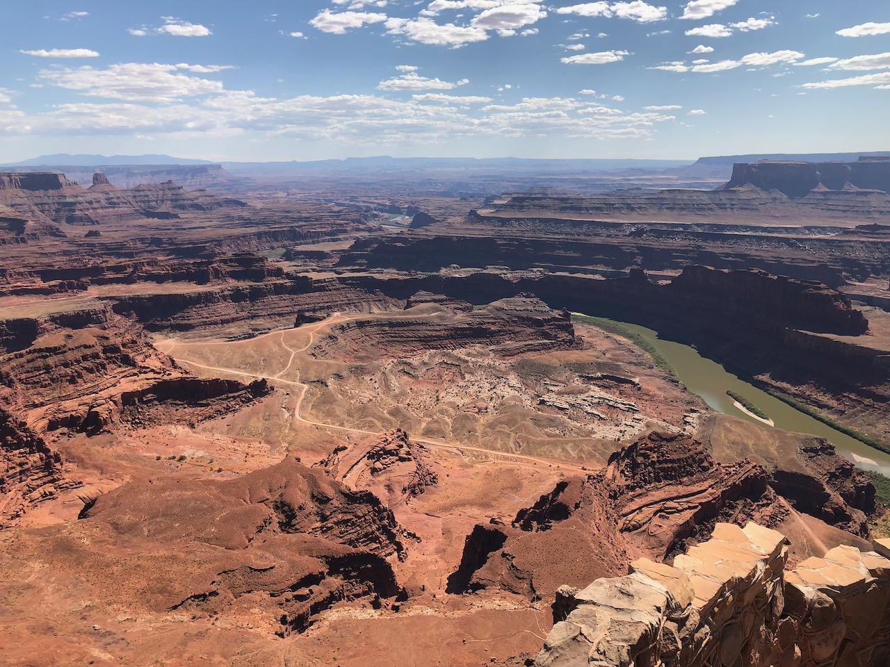
Dead Horse Point Overlook
Dead Horse Point State Park
Difficulty
EasyLength
1 Miles
Time
1-3 Hours
Trail Type
Loop or Out and Back
Pets
Yes
Required Gear
Standard Day Hike Gear
Rating
Season
All Year
Fees
$20/vehicle (state park entrance)
About This Trail
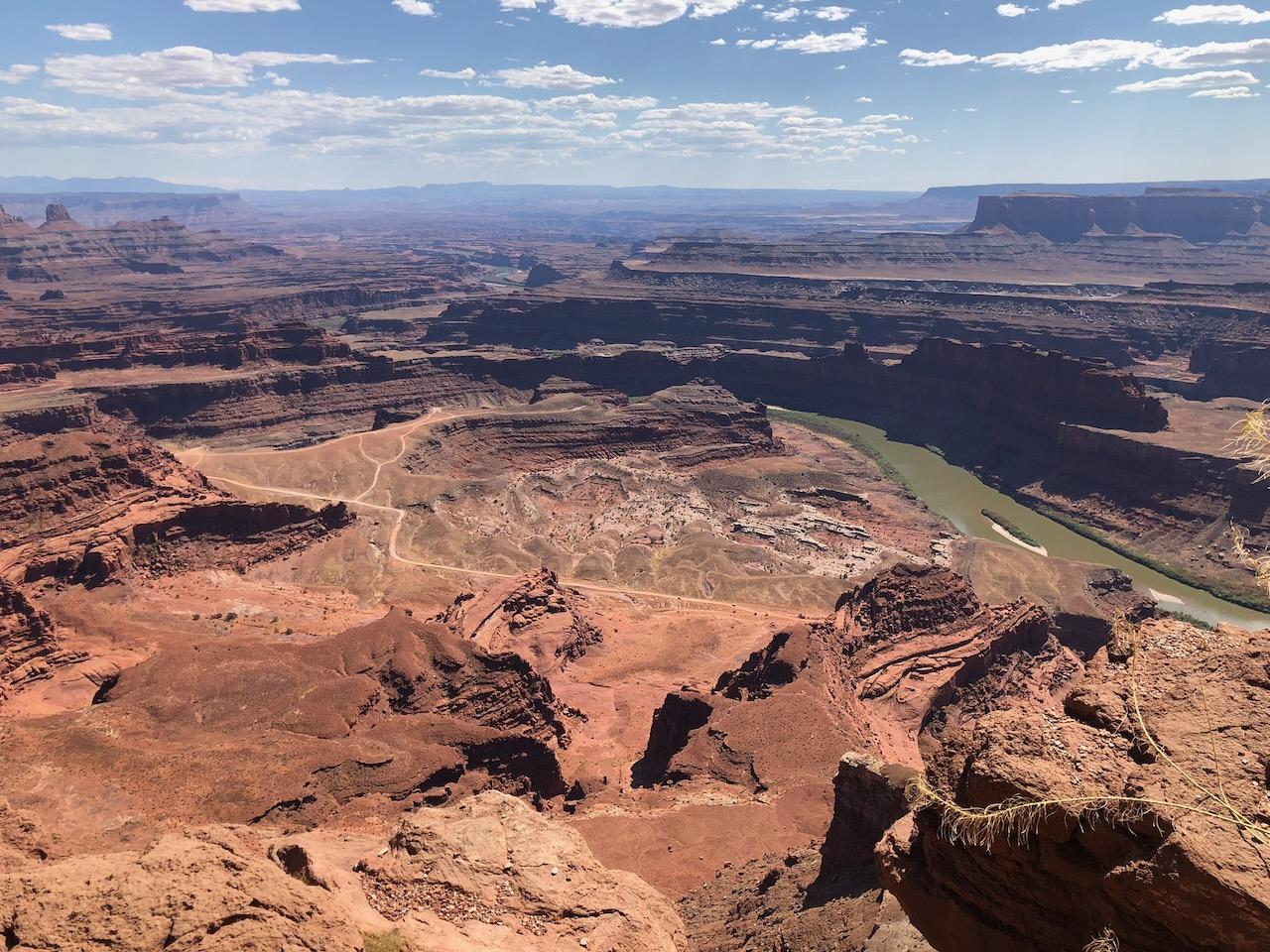
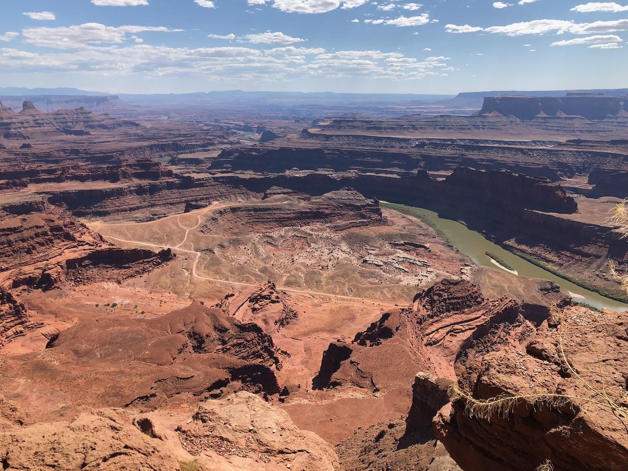
The classic gooseneck view: the Colorado River wrapping 2,000 feet below a slender mesa point, with rim trails for every energy level.
Local Tip
Time your visit for the last two hours of daylight: the gooseneck falls into shadow while the far walls glow, and the crowds thin as the light gets best. The park's dark-sky designation means that if you linger past dusk, the Milky Way over the canyon is its own show.
Trail Description
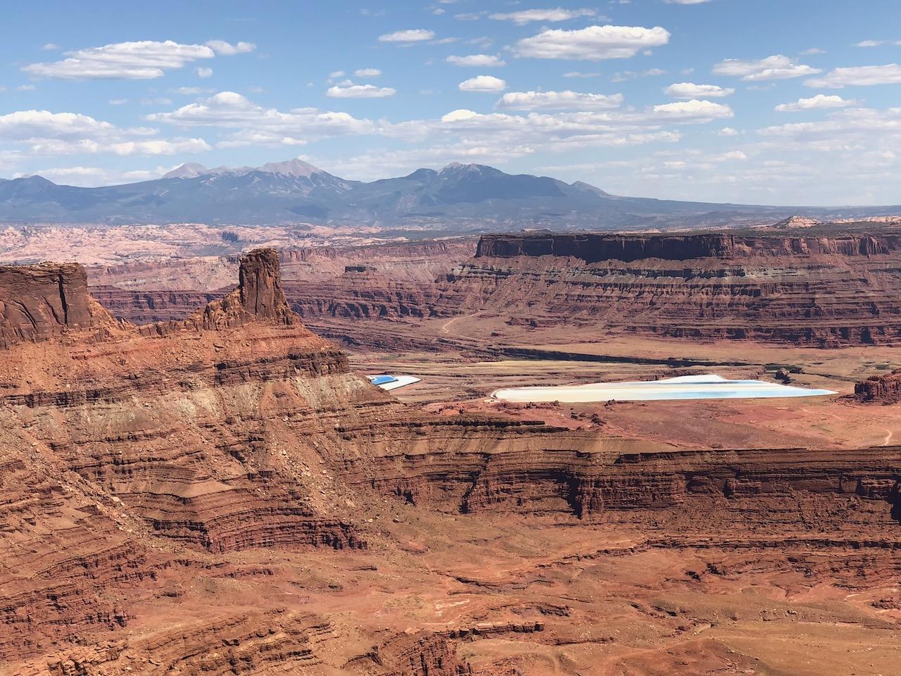
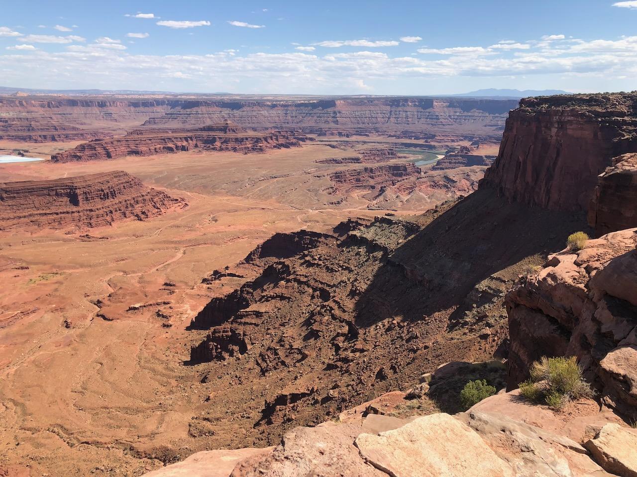
Dead Horse Point has the single most famous river view in the Moab area: the Colorado sweeping through a giant gooseneck bend 2,000 feet below the point, framed by canyon walls that run to the horizon. It's the view most people picture when they imagine Canyonlands, and it sits in its own state park next door.
From the main overlook near the point, rim trails run along both edges of the narrow mesa. The East Rim and West Rim trails link a series of named overlooks and can be walked as short out-and-backs or combined into a loop of up to about 5 miles from the visitor center.
Unlike the national parks, dogs are welcome on leash, and the paved main overlook is steps from the parking lot. This is the big view that everyone in the group can reach.
Trailhead Info
From Moab, drive 9 miles north on US-191, then 23 miles on UT-313 following signs to Dead Horse Point State Park (about 45 minutes). Entrance fee $20/vehicle (up to 8 people). The main overlook lot is at the end of the park road, 2 miles past the visitor center.
Trail Info
The main point overlook is a short paved walk from the lot. For more, the East Rim Trail (2 miles one way) and West Rim Trail (2.5 miles one way with spur overlooks) connect the point to the visitor center and can be combined as a loop of roughly 5 miles; all sections are gently rolling rim walking that can be sampled in any length. Watch the weather, because the exposed rim is no place to be in lightning.
Elevation Profile and Map
Elevation Charts


Interactive Map
Trail Photos
Ready for More Adventures?
Explore more hiking trails and outdoor activities in the Moab area.