Corona Arch
Potash Road
Difficulty
ModerateLength
3 Miles
Time
2-3 Hours
Trail Type
Out and Back
Pets
Yes
Required Gear
Standard Day Hike Gear
Rating
Season
All Year
Fees
None
About This Trail
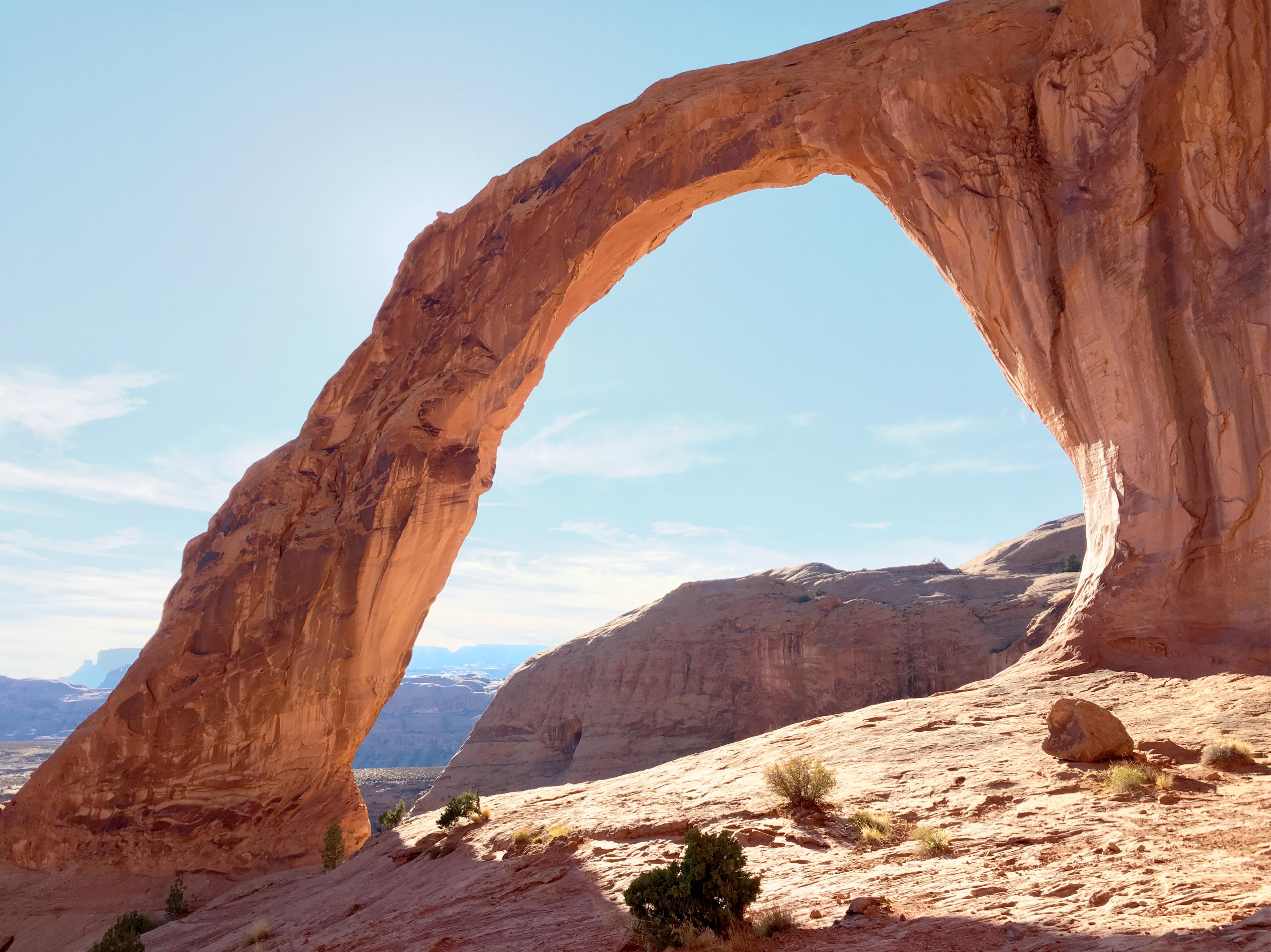
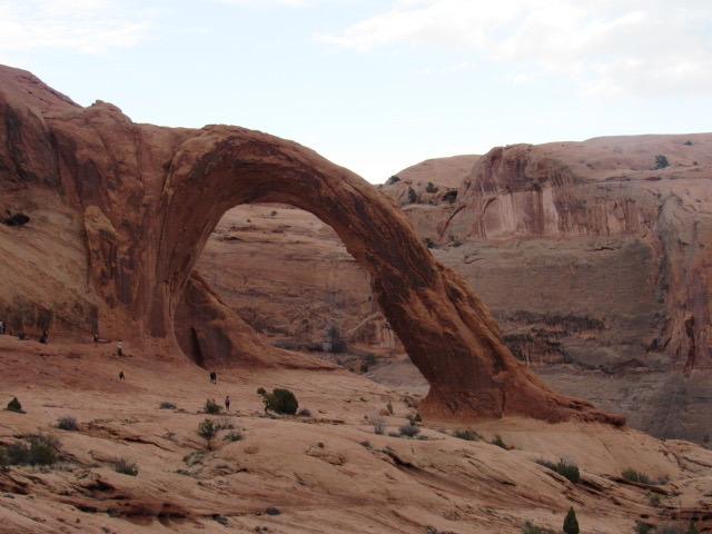
Corona Arch is easily the most impressive arch outside of Arches National Park. The size and convenience of this arch makes this hike a “must do” when in Moab.
Local Tip
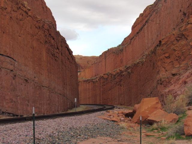
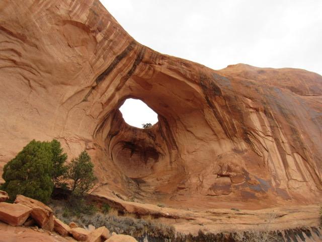
Don't stop at Corona. Bowtie Arch is right next door and most people barely notice it. The short cable-and-ladder section near the end looks intimidating, but it has good hand and footholds. Take it slow and it's fine for most kids. If you hear a horn echoing up the canyon, watch the cliff across the river: the potash train runs right along the base and it's quite a sight.
Trail Description
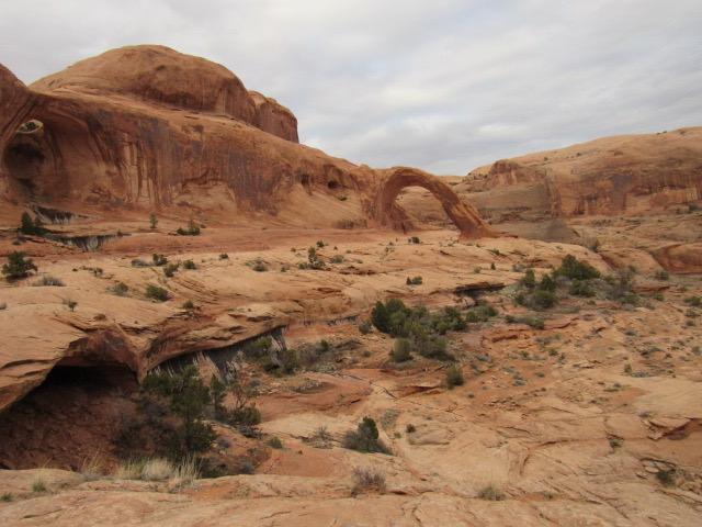
Corona Arch has a 140 by 105 foot opening. It looks similar to Rainbow Bridge by Lake Powell. Bowtie Arch is also near Corona as an added bonus for this hike. This area is located on BLM land so you can enjoy these arches without any fees!
Trailhead Info
The trailhead is northwest of Moab on the Potash road. Follow Highway 191 north out of Moab. After you cross over the Colorado River, drive another 1.4 miles. The Potash turnoff will be on the left or west side of the road. Turn onto Potash and follow it for roughly 10 miles. The road will bend and follow the Colorado River as it carves its way through the slick rock. The trailhead is signed and there’s a parking lot.
Trail Info
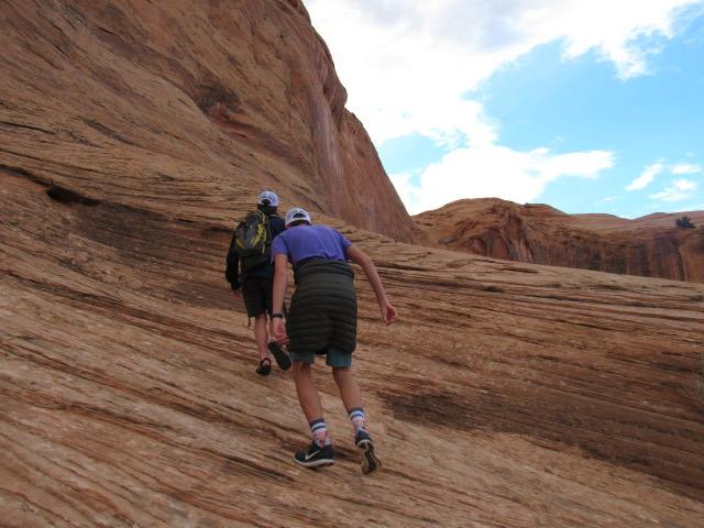
The hike begins at the signed area at the southern part of the parking lot. The trail immediately gains elevation as it heads up and over the railroad tracks. Once you make it up onto the mesa, the trail continues to head in an eastern fashion. You’ll eventually make it around the canyon and the trail climbs a few slickrock ledges with moki steps (divots chipped into the sandstone) and a ladder. At this point you should be able to see the arches. Make your way across the sandstone bench to the arches or as far as you want to go. Return the way you came. The trail is marked with blue markers and rock cairns to help you locate the trail across the slick rock.
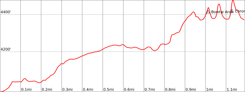
Elevation Profile and Map
Elevation Charts
Interactive Map
Trail Photos
Ready for More Adventures?
Explore more hiking trails and outdoor activities in the Moab area.